| Area: | 8.9 ha (site) |
| Date: | 2007 |
| Architects: | Project Architects |
| Assignment: | Master Planning, Offices, Commercial, Retail, Arts & Leisure, Landscape, Private Housing, Public Housing, Conservation |
| Location: | Donaghcumper, Celbridge, Co. Kildare |
Work: | Planning, 3D Modelling, AutoCAD, ArchiCAD, Artlantis |
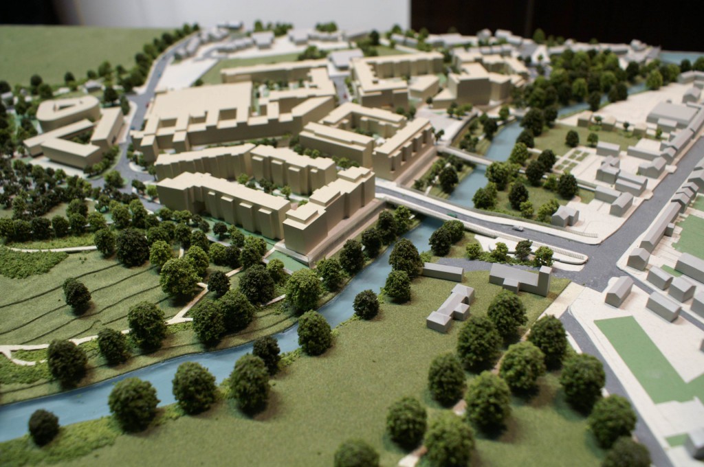
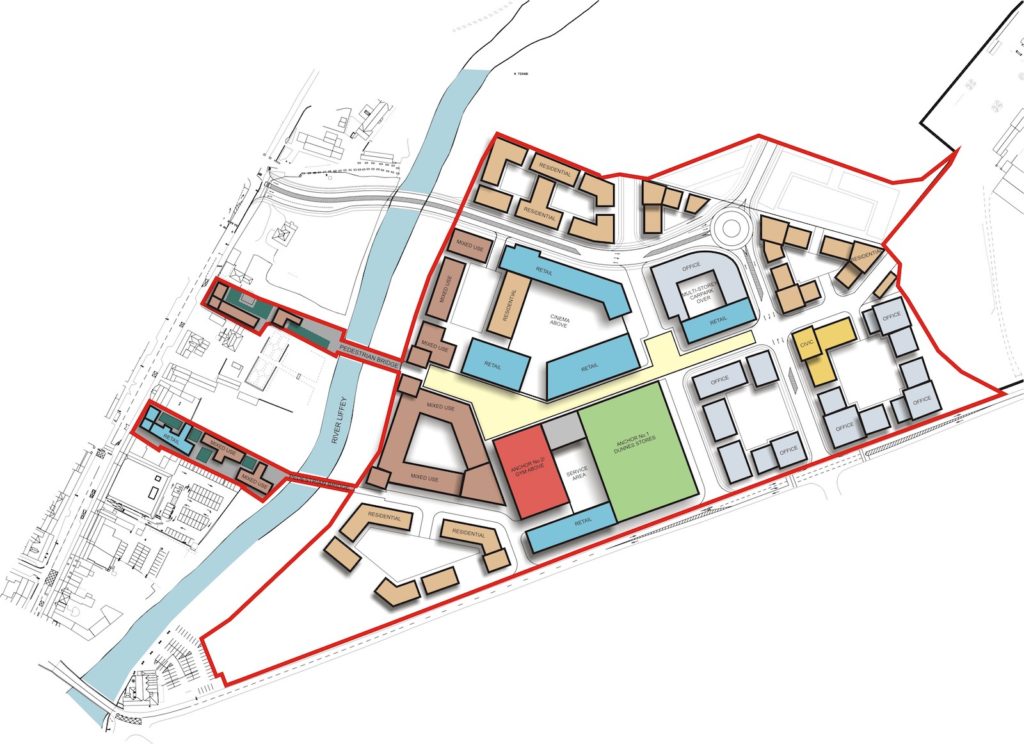
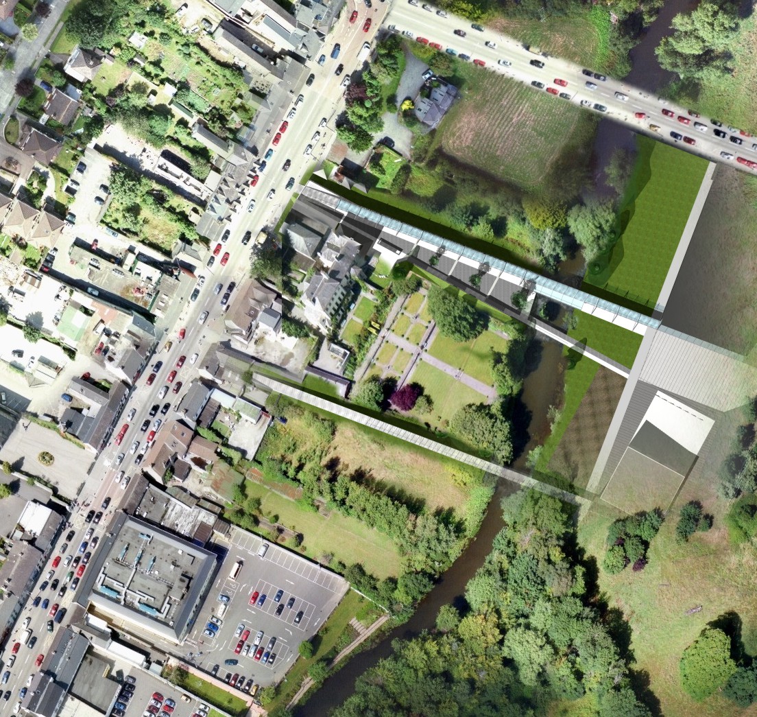
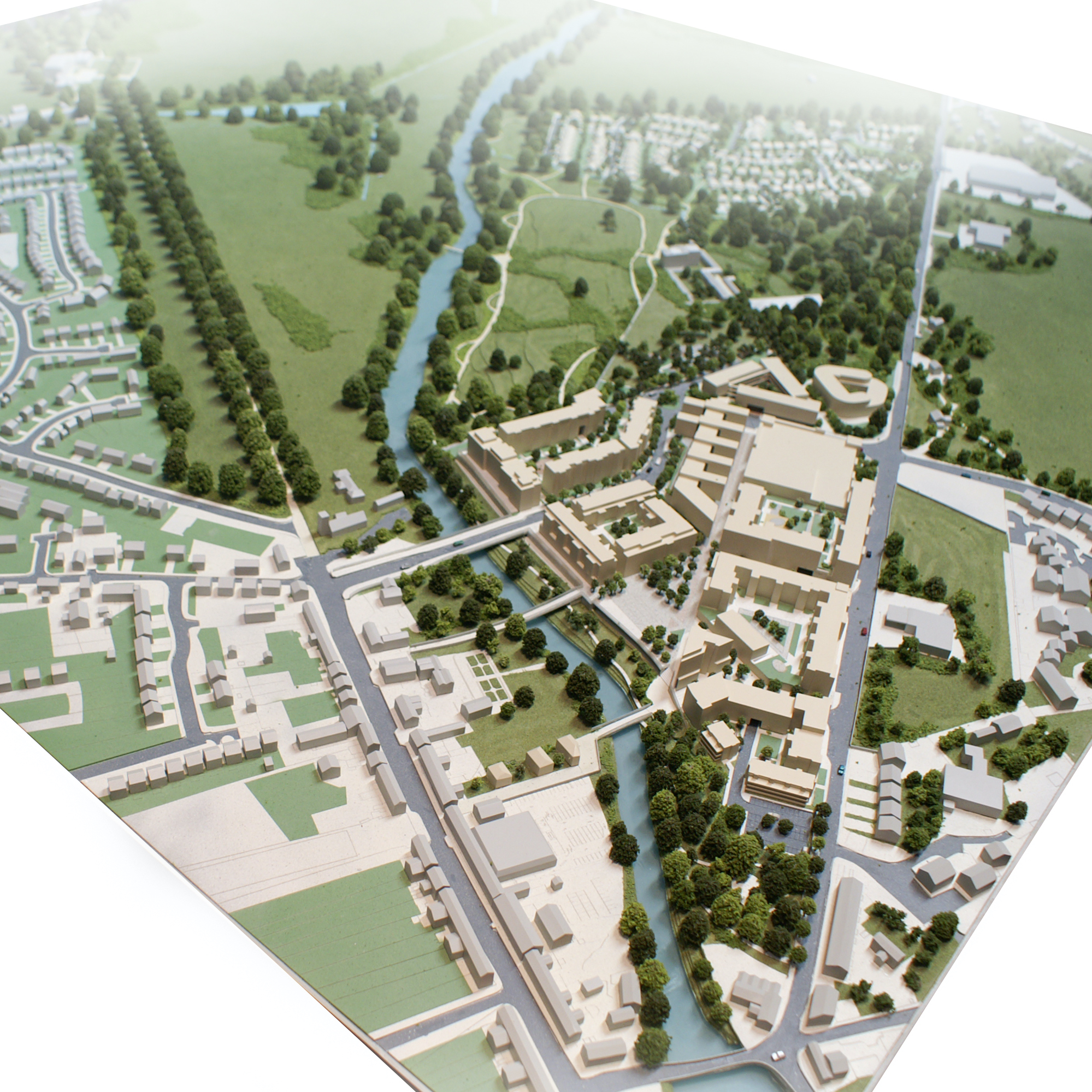
The site of the proposed development is located within the townland of Donaghcumper to the east Of Celbridge town centre, Co. Kildare. It is bound to the northwest by the River Liffey, to the south by the Dublin Road and to the east by Donaghcumper House and Demesne.
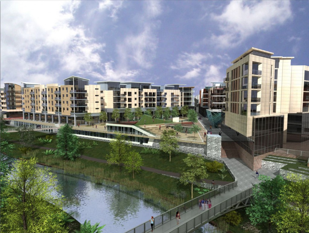
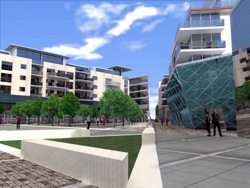
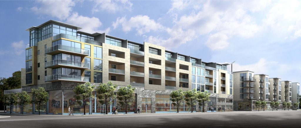
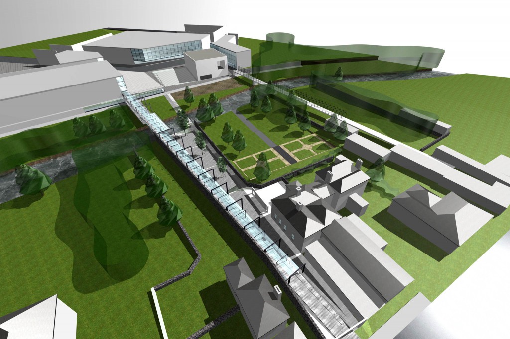
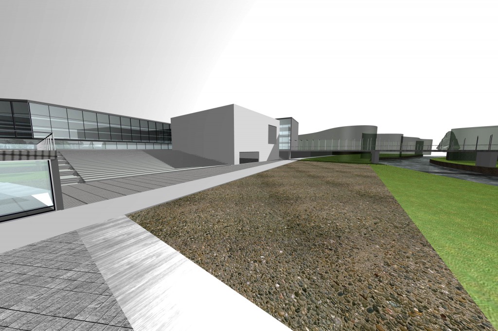
The scheme seeks to establish expansion of the town centre within a site of some 8.9 hectares to the south of Main Street, Celbridge. The scheme provides for new access from Dublin Road, and a distributor road linking the area to Celbridge Main Street via a new road bridge over the River Liffey. It is proposed to link the area to Main Street via two pedestrian bridges. A linear park with amenity walkways along the River Liffey is also proposed as part of the development. The proposal provides for a mixed-use development area including new streets, a public plaza, some 650 residential units, some 10,000 square metres of retail floor space, and some 10,000 square metres of commercial floor space.
The 2002 Celbridge Development Plan included a vision for the urban expansion of the town at Donaghcumper Demesne. This provided the statutory basis for the development of approx. 40 hectares of land for town centre commercial, residential and recreational use between the River Liffey and Dublin Road.
The Donaghcumper Masterplan is the urban planning tool that aims to provide a clear framework for the future planning and development of the area so that all parties can understand and commit to the scale, massing, character, use and quality of the urban expansion of the town.
The Masterplan ensures theta public facilities and utilities are rolled out in a phased manner, balanced with the delivery of commercial investment and development.
